Property Record
3560 Richlands Hwy, Jacksonville, NC 28540


NEARBY LISTINGS FOR SALE OR LEASE
-
-
View all Jacksonville listings for sale on LoopNet.com
Property Detail
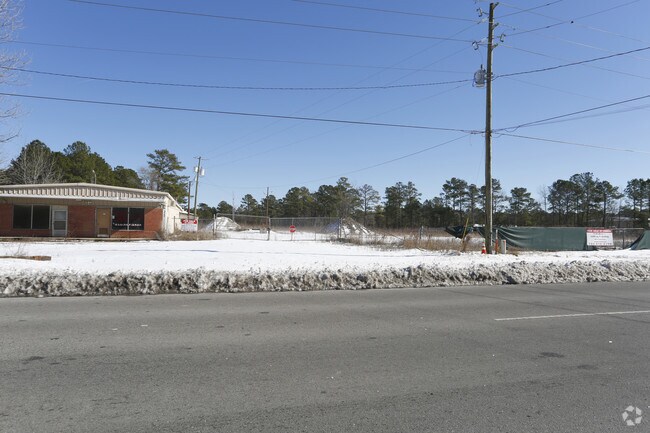
3560 Richlands Hwy
005670
Ind Tr On Us Hwy 258 & Nc 24
Autorepair
TR US 258 & NC 24 CAROLINA METAL
X
Onslow
3720435700J
North Carolina
2025
11.46 AC
2025
North Carolina Southeast Area
001101
Other Market Areas
296 SF
Jacksonville, NC
DEMOGRAPHICS near 3560 Richlands Hwy
1 Mile
3 Mile
5 Mile
2024 Total Population
2,483
15,022
53,720
2029 Population
2,613
15,792
56,214
Pop Growth 2024-2029
+ 5.24%
+ 5.13%
+ 4.64%
Average Age
34
35
33
2024 Total Households
939
5,803
19,357
HH Growth 2024-2029
+ 5.64%
+ 5.55%
+ 5.06%
Median Household Inc
$58,471
$52,991
$50,771
Avg Household Size
2.60
2.50
2.40
2024 Avg HH Vehicles
2.00
2.00
2.00
Median Home Value
$177,285
$169,588
$162,437
Median Year Built
1994
1987
1985
Nearby Places
Map Layers
Map Styles
 Street
 Aerial
- Restaurants
- Banks
- Shops
- Fitness
- Groceries
PUBLIC TRANSPORTATION
AIRPORT
Albert J Ellis
DRIVE
WALK
Distance
Albert J Ellis
20 min
10.3 mi
Freight Ports
Port of Morehead City
DRIVE
WALK
Distance
Port of Morehead City
75 min
47.9 mi
SALE & LEASE HISTORY
LISTING DATE
SALE/LEASE

Mar 07, 2023
For Sale
Jan 09, 2018
For Sale
Nearby Properties
Address
Land Use
TOTAL SIZE
Lot Size
Zoning
Address
Land Use
TOTAL SIZE
Lot Size
Zoning
211,186 SF
22.08 AC
CC
Address
Land Use
TOTAL SIZE
Lot Size
Zoning
96,863 SF
27.61 AC
RA
Address
Land Use
TOTAL SIZE
Lot Size
Zoning
93,849 SF
60 AC
HB
Address
Land Use
TOTAL SIZE
Lot Size
Zoning
88,907 SF
13.48 AC
O-I
Address
Land Use
TOTAL SIZE
Lot Size
Zoning
464 SF
458.49 AC
H-IN
Address
Land Use
TOTAL SIZE
Lot Size
Zoning
79,581 SF
35 AC
O+I
Address
Land Use
TOTAL SIZE
Lot Size
Zoning
2,480 SF
11.59 AC
RMF-HD
Address
Land Use
TOTAL SIZE
Lot Size
Zoning
65,800 SF
28.82 AC
IND-H
Address
Land Use
TOTAL SIZE
Lot Size
Zoning
11,064 SF
17.85 AC
RMF-HD
Address
Land Use
TOTAL SIZE
Lot Size
Zoning
140,403 SF
15.78 AC
CC
Address
Land Use
TOTAL SIZE
Lot Size
Zoning
36,567 SF
25.60 AC
HB
Address
Land Use
TOTAL SIZE
Lot Size
Zoning
7,550 SF
18.40 AC
RSF-7
Address
Land Use
TOTAL SIZE
Lot Size
Zoning
18,480 SF
93 AC
IND
Address
Land Use
TOTAL SIZE
Lot Size
Zoning
39,552 SF
20.17 AC
RSF-7
Address
Land Use
TOTAL SIZE
Lot Size
Zoning
22,128 SF
12.38 AC
OI
Address
Land Use
TOTAL SIZE
Lot Size
Zoning
29,117 SF
25.52 AC
CC
Address
Land Use
TOTAL SIZE
Lot Size
Zoning
29,476 SF
4.95 AC
CC
Address
Land Use
TOTAL SIZE
Lot Size
Zoning
4,788 SF
21.71 AC
OI
Address
Land Use
TOTAL SIZE
Lot Size
Zoning
10,001 SF
5.86 AC
CC
Address
Land Use
TOTAL SIZE
Lot Size
Zoning
21,789 SF
10.04 AC
OI
Address
Land Use
TOTAL SIZE
Lot Size
Zoning
30,036 SF
6.41 AC
CC
Address
Land Use
TOTAL SIZE
Lot Size
Zoning
15,950 SF
10.50 AC
CC
Address
Land Use
TOTAL SIZE
Lot Size
Zoning
32,854 SF
4.21 AC
HB
Address
Land Use
TOTAL SIZE
Lot Size
Zoning
11,860 SF
20.63 AC
HB
Address
Land Use
TOTAL SIZE
Lot Size
Zoning
22,213 SF
35.49 AC
OI
Address
Land Use
TOTAL SIZE
Lot Size
Zoning
8,298 SF
6.04 AC
CC
Address
Land Use
TOTAL SIZE
Lot Size
Zoning
15,000 SF
1.72 AC
CC
Address
Land Use
TOTAL SIZE
Lot Size
Zoning
6,032 SF
7.89 AC
HB
Address
Land Use
TOTAL SIZE
Lot Size
Zoning
4,080 SF
10.03 AC
OI
Address
Land Use
TOTAL SIZE
Lot Size
Zoning
17,160 SF
7.12 AC
CC
The World's #1 Commercial Real Estate Marketplace
Connect with us
© 2025 CoStar Group
The information above has been obtained from sources believed reliable. While we do not doubt its accuracy we have not verified it and make no guarantee, warranty or representation about it. It is your responsibility to independently confirm its accuracy and completeness. Any projections, opinions, assumptions, or estimates used are for example only and do not represent the current or future performance of the property. The value of this transaction to you depends on tax and other factors which should be evaluated by your tax, financial, and legal advisors. You and your advisors should conduct a careful, independent investigation of the property to determine to your satisfaction the suitability of the property for your needs.